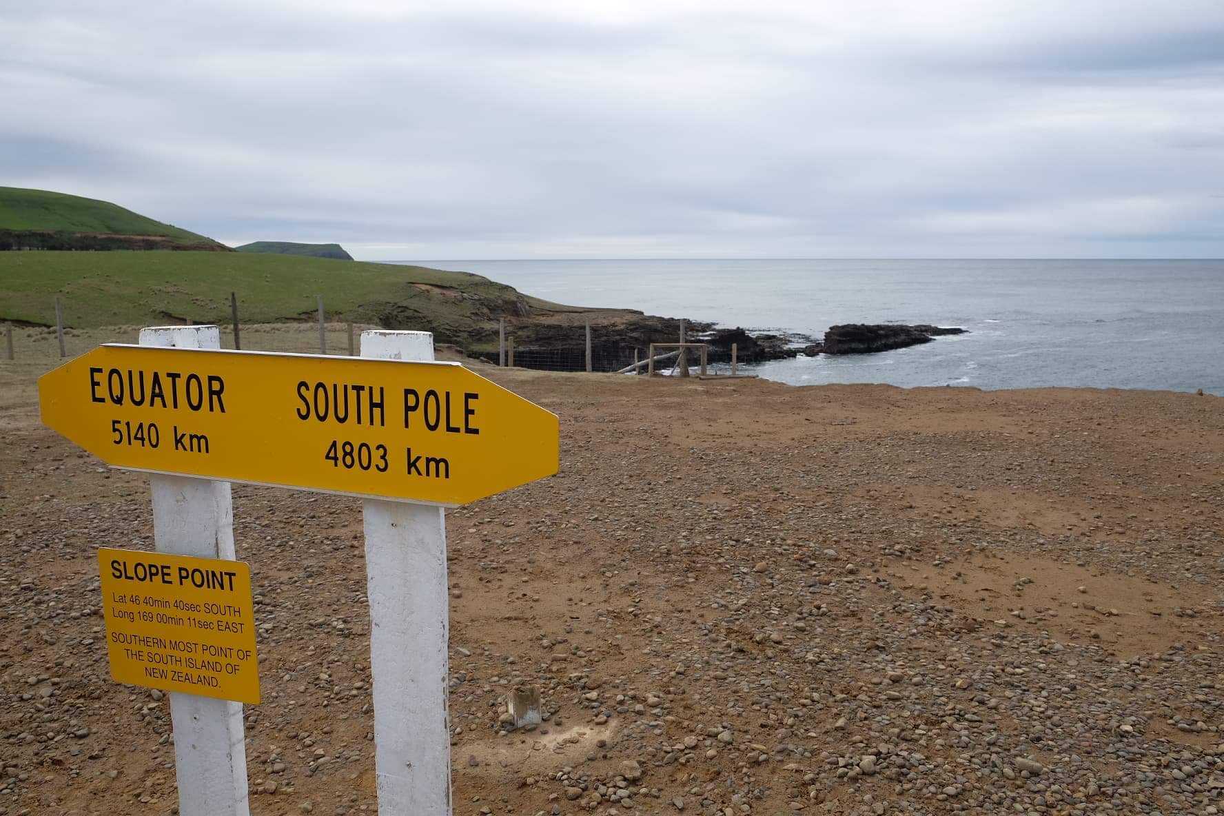
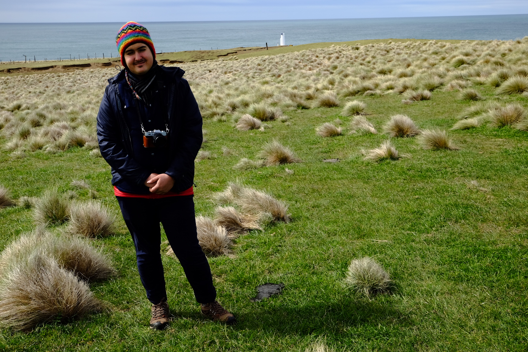
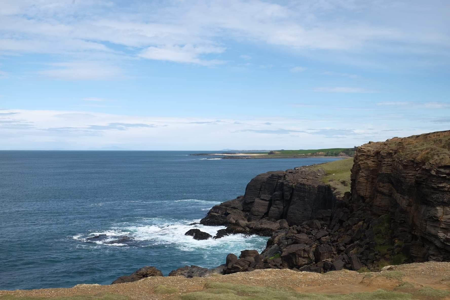
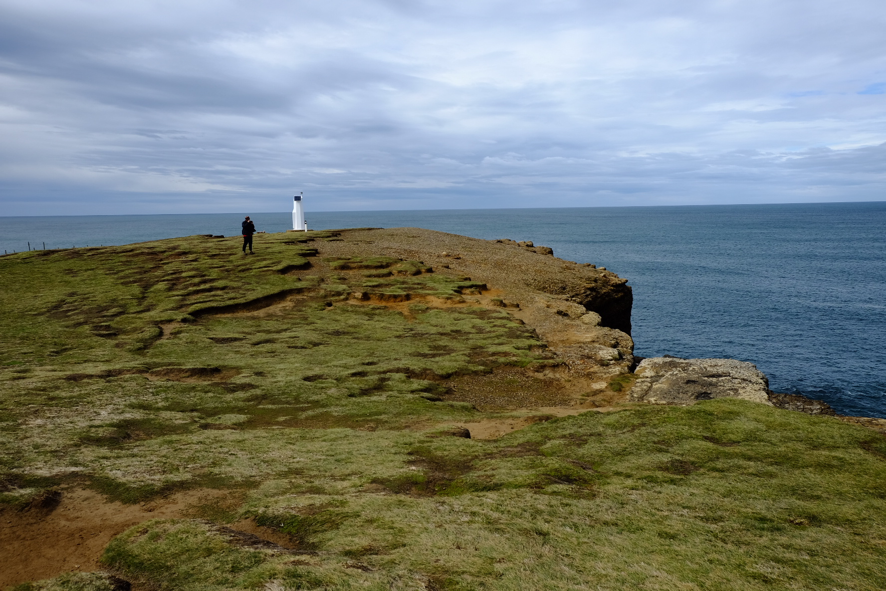
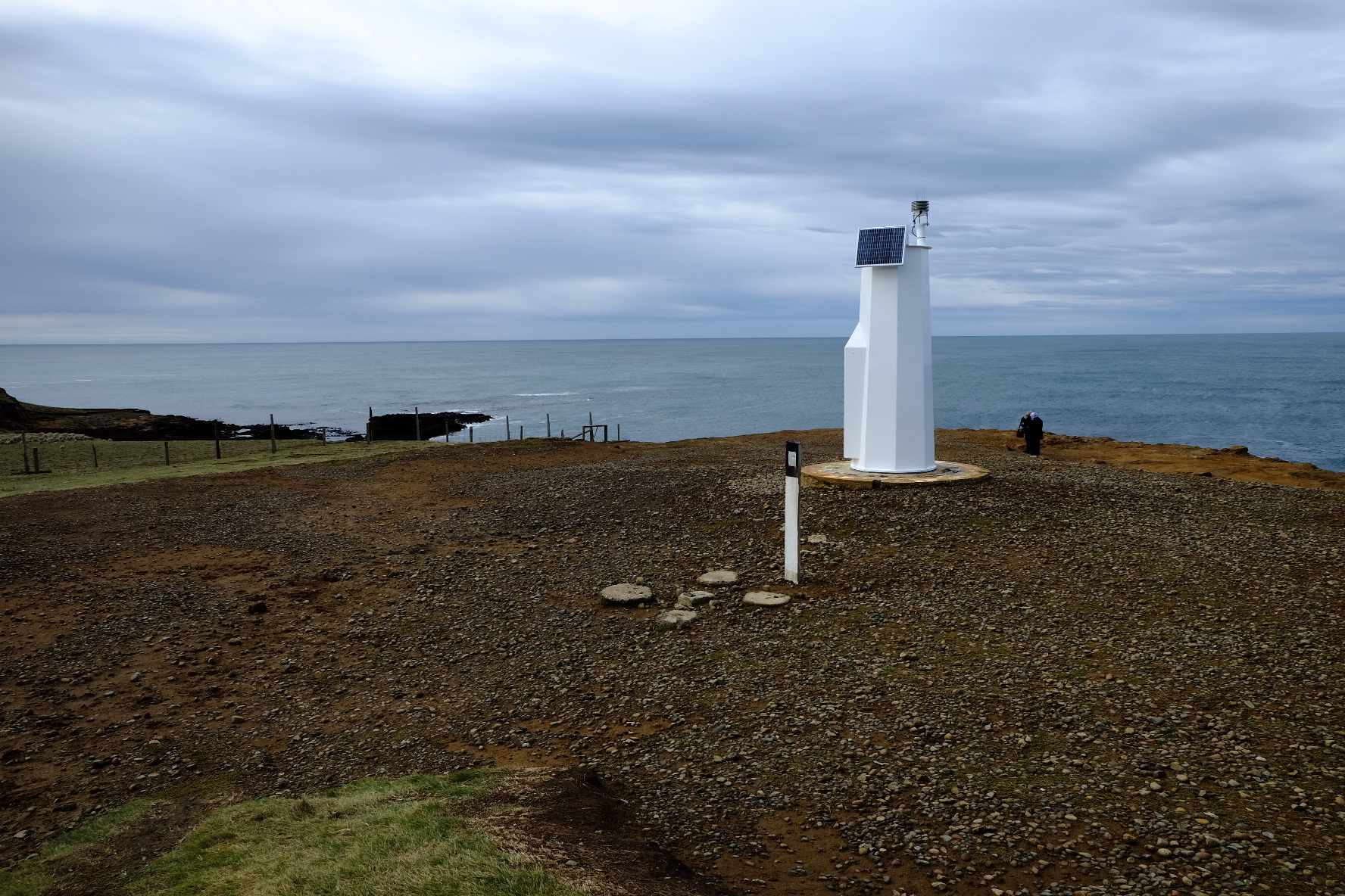
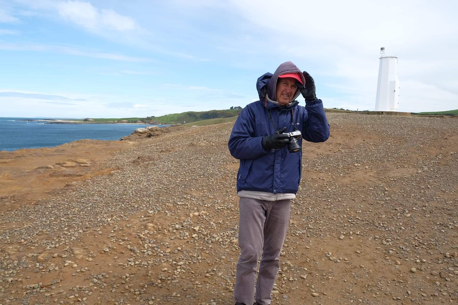
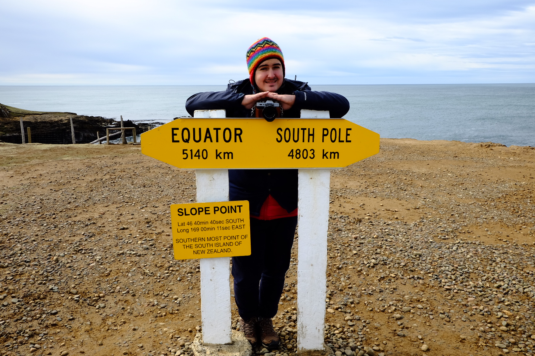
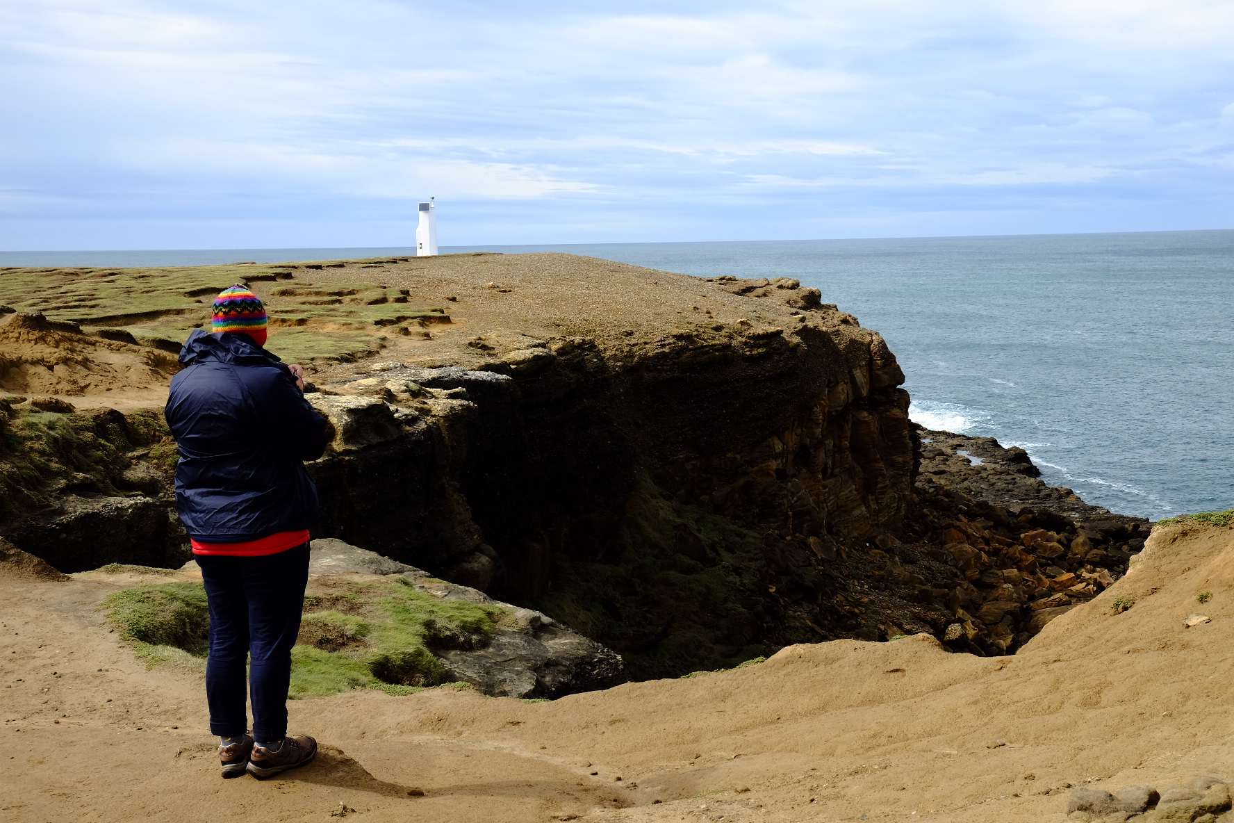
Slope Point is the most southerly Point on the South Island of New Zealand and Cape York is the most northerly part of the Australian mainland. As the crow flies they are 4,710 km apart and last year Keiran and I we’re at Cape York. As the distance from Slope Point to the South Pole is 4,803 km we were standing almost equidistant between Cape York and the South Pole today. In fact taking the wind chill into account we felt much much closer to the South Pole then we did to Cape York.

From Slope Point we traveled to Stirling Point, which depending upon your perspective is either the beginning or the end of Highway 1.
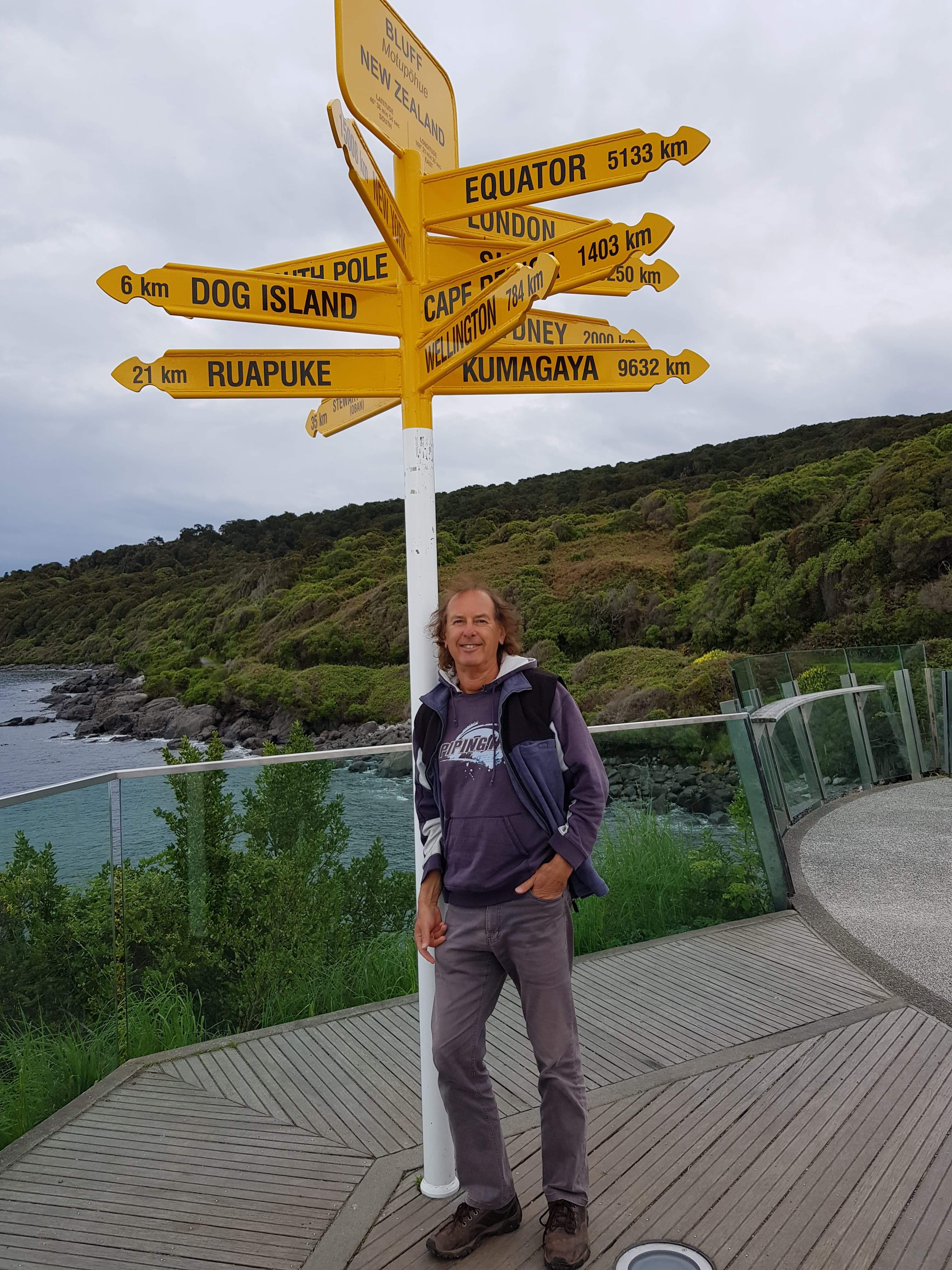
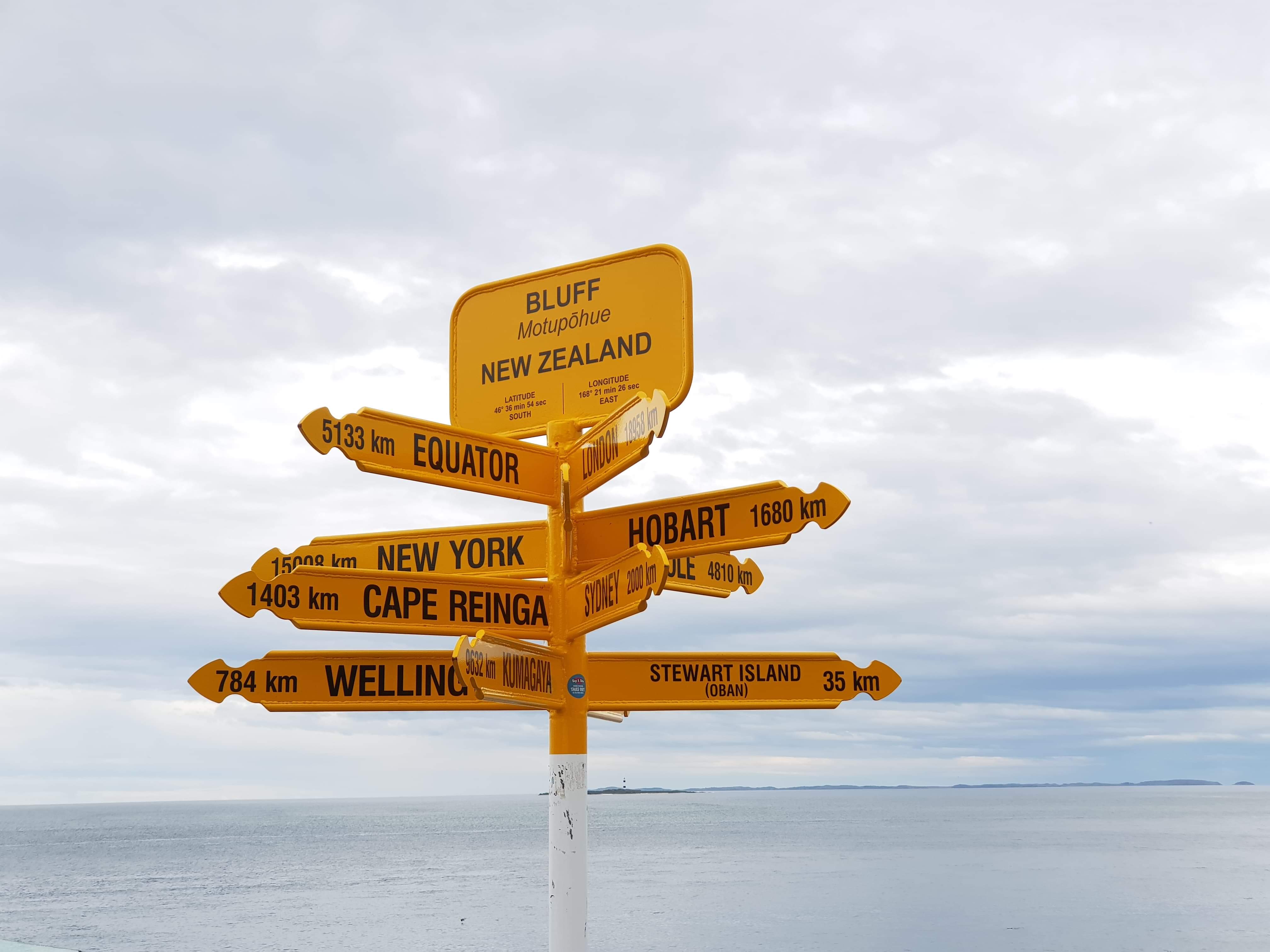
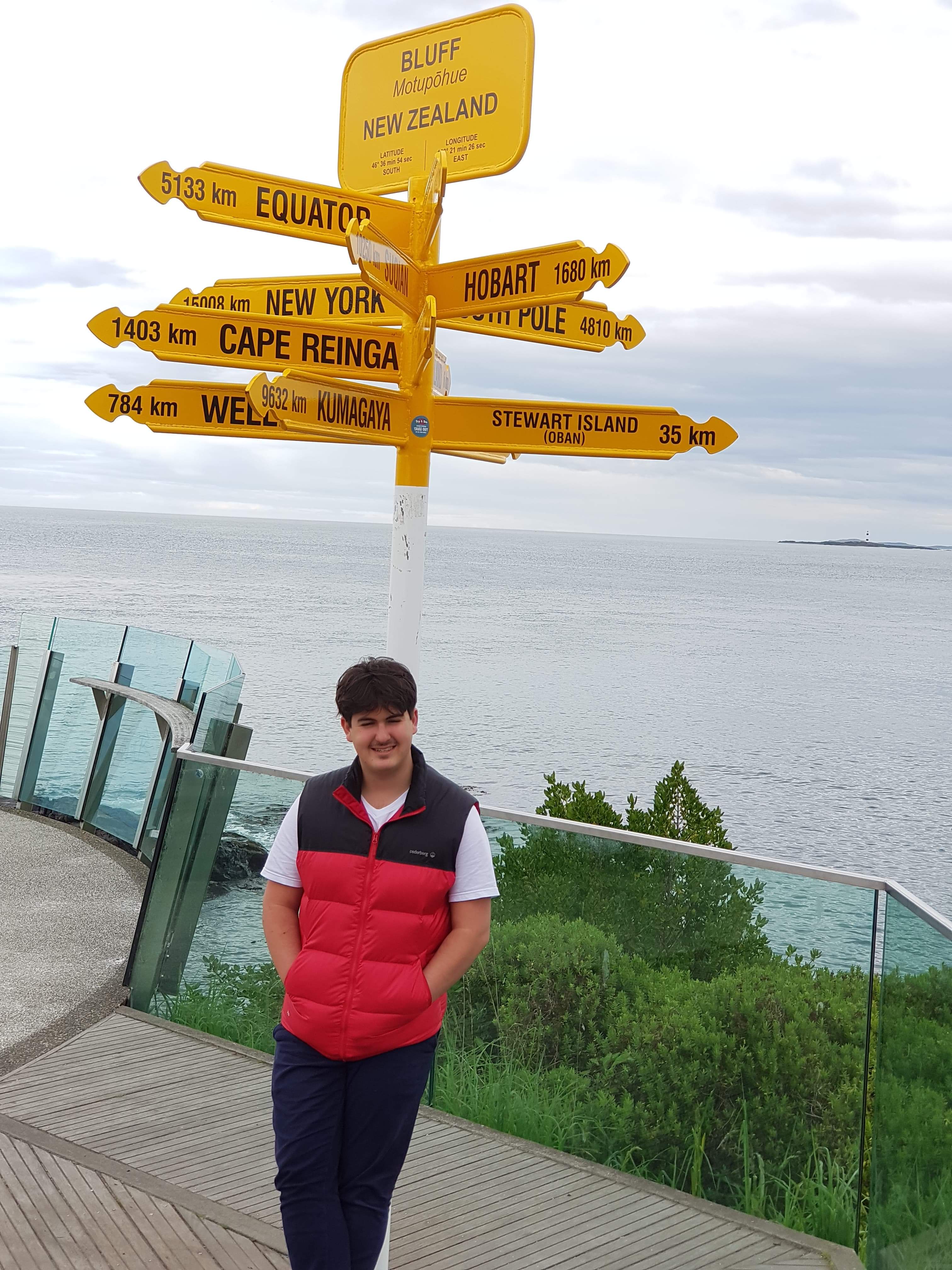
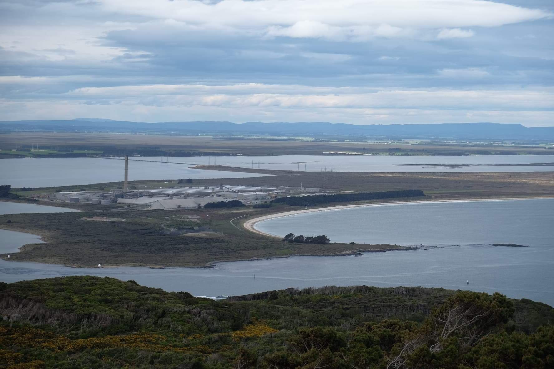
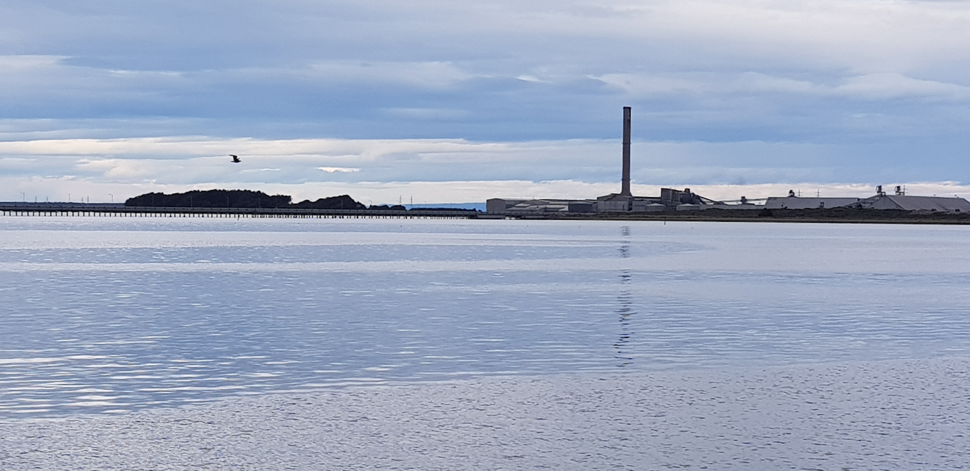
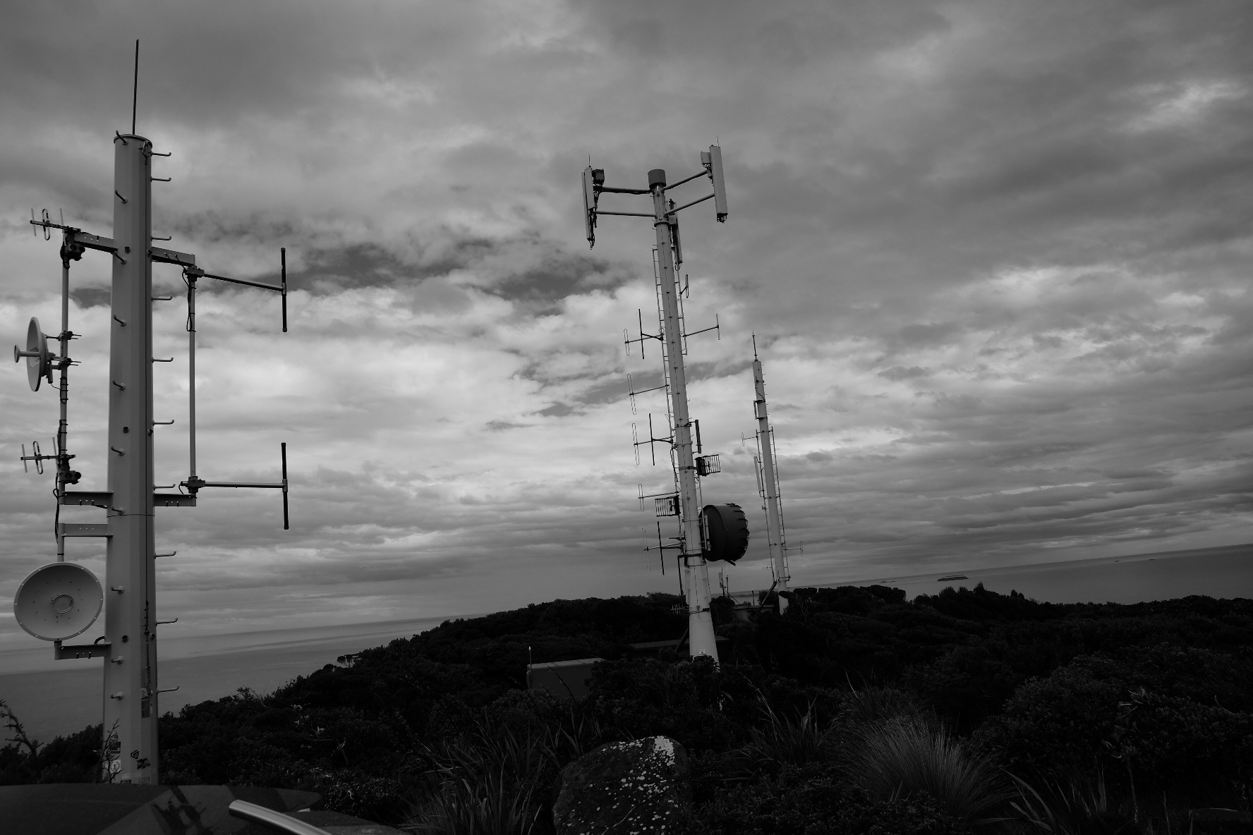
Stirling Point is near The Bluff, one of the oldest settlements in New Zealand with a very steep drive to the top of the hill which overlooks the entire area all the way back to Invercargill
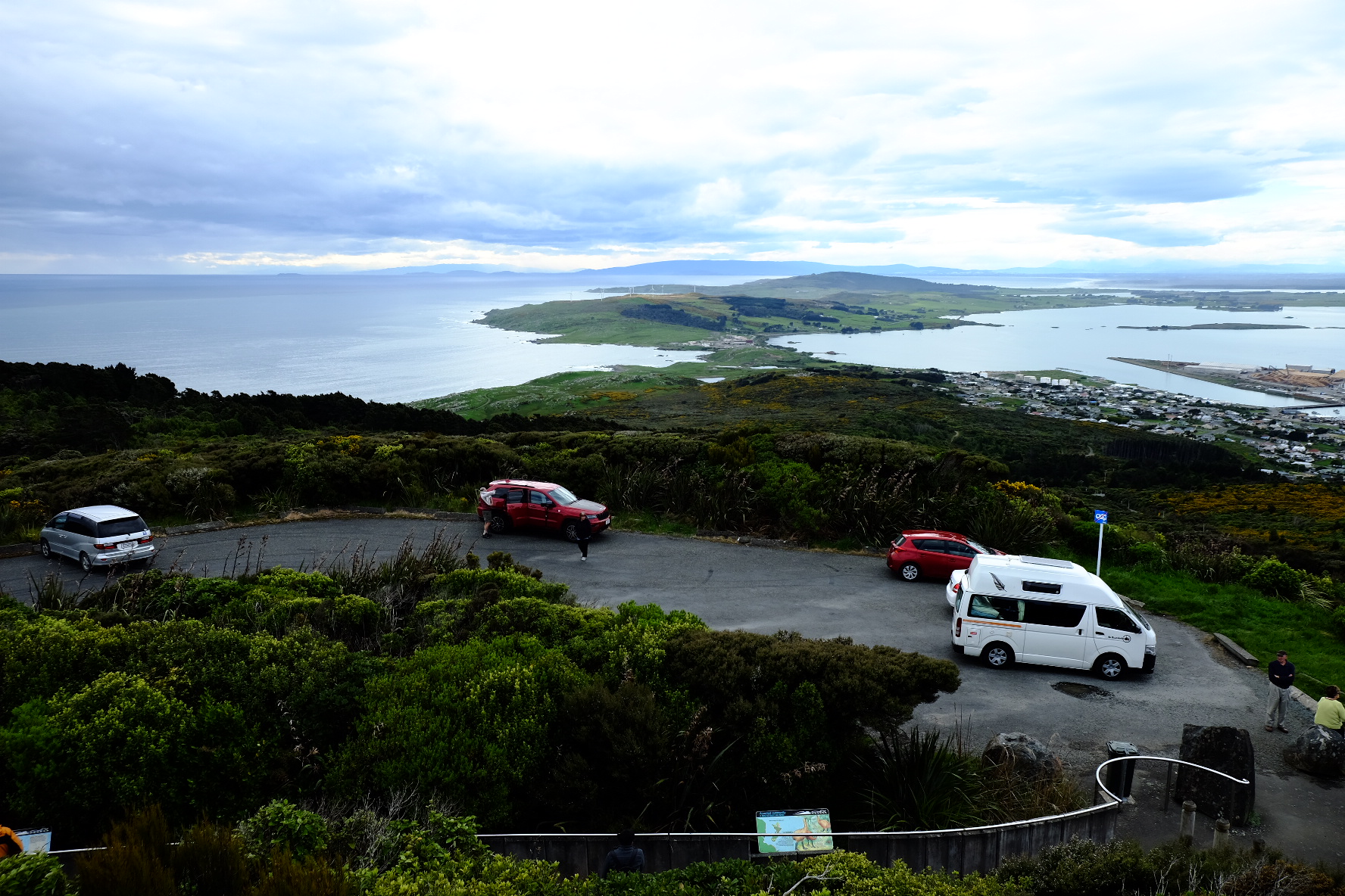

In the next photo you can see what appears to be some kind of industrial complex, which we were curious about. According to Google this is the only aluminium smelter in New Zealand: taking bauxite from the Gulf of Carpentaria in far northern Australia processing it here on the Far South coast of New Zealand and then sending the finished product all the way to Japan. This plant has its own dedicated power station, utilizes 13% of all electricity produced in New Zealand (equal to the power consumed by 680,000 houses) and represents 10% of the the New Zealand economy.